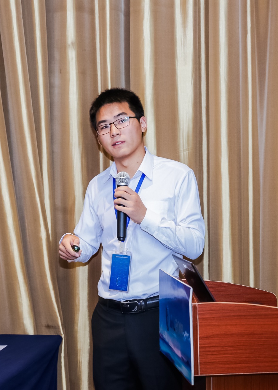
刘计洪
团队名称:CSU三维监测团队
团队成员介绍:
年级:2018级博士研究生(已毕业)
研究方向:InSAR三维形变与地质灾害监测
个人邮箱:liujihong@csu.edu.cn;jihong.liu@kaust.edu.sa
教育经历:
2013.09-2017.06,中南大学,地球科学与信息物理学院,测绘工程专业,学士;
2017.09-2018.06,中南大学,地球科学与信息物理学院,测绘科学与技术,硕士(硕博连读);
2018.09-2022.06,中南大学,地球科学与信息物理学院,测绘科学与技术,博士;
荣誉及获奖:
[1] 2017年硕士研究生国家奖学金
[2] 2019年全国博士生学术论坛(测绘科学与技术)二等奖
[3] 2021年博士研究生国家奖学金
[4] 2021年中南大学研究生优秀学生标兵
[5] 2022年湖南省优秀毕业生
发表论文:
[1] Liu, J., Hu, J.*, Li, Z., Zhang, L., Sun, Q., Zhu, J., & Wu, L. (2023). Dynamically estimating deformations with wrapped InSAR based on sequential adjustment. Journal of Geodesy, 123. https://doi.org/10.1007/s00190-023-01741-1
[2] Liu, J., Hu, J.*, Li, Z., Ma, Z., Wu, L., Jiang, W., Feng, G., & Zhu, J. (2022). Complete three-dimensional coseismic displacements due to the 2021 Maduo earthquake in Qinghai Province, China from Sentinel-1 and ALOS-2 SAR images. SCIENCE CHINA Earth Sciences, 65, 1–11. https://doi.org/10.1007/s11430-021-9868-9
[3] Liu, J., Hu, J.*, Bürgmann, R., Li, Z., Sun, Q., & Ma, Z. (2021). A Strain-Model Based InSAR Time Series Method and Its Application to The Geysers Geothermal Field, California. Journal of Geophysical Research: Solid Earth, 126(8). https://doi.org/10.1029/2021JB021939
[4] Liu, J., Hu, J.*, Xu, W., Li, Z., Zhu, J., Ding, X., & Zhang, L. (2019). Complete Three-Dimensional Coseismic Deformation Field of the 2016 Central Tottori Earthquake by Integrating Left- and Right-Looking InSAR Observations With the Improved SM-VCE Method. Journal of Geophysical Research: Solid Earth, 124(11), 12099–12115. https://doi.org/10.1029/2018JB017159
[5] Liu, J.-H., Hu, J.*, Li, Z.-W., Zhu, J.-J., Sun, Q., & Gan, J. (2018). A Method for Measuring 3-D Surface Deformations With InSAR Based on Strain Model and Variance Component Estimation. IEEE Transactions on Geoscience and Remote Sensing, 56(1), 239–250. https://doi.org/10.1109/TGRS.2017.2745576
发明专利:
[1] 刘计洪,胡俊,李志伟,朱建军,面向三维地表形变估计的InSAR和GNSS定权方法, ZL201910423735.8,国家发明专利,已授权,2023/04/07.
[2] 刘计洪,胡俊,李志伟,朱建军, 面向缠绕相位的InSAR时序三维形变监测方法, ZL202110111179.8,国家发明专利,已授权,2022/04/22.
[3] 刘计洪,胡俊,李志伟,朱建军, 一种时序InSAR误差的改正方法及相关设备, ZL202211568937.X,国家发明专利,已授权,2023/04/11.
[4] 胡俊,刘计洪,李志伟,朱建军,基于方差分量估计与应力应变模型的InSAR三维地表形变监测方法, ZL2017103283858,国家发明专利,已授权,2019/12/06.
[5] 胡俊,刘计洪,李志伟,朱建军,一种基于序贯平差的InSAR时序地表形变监测方法,ZL201810739362.0,国家发明专利,已授权,2020/01/17.
承担项目:
[1] 国家重点研发计划课题:高精度三维形变场测量技术与方法,课题编号: 2018YFC1503603,2018-2022,课题骨干.
[2] 国家自然科学基金面上项目:基于动态平差理论的InSAR三维时序地表形变估计方法研究,项目编号41674010,2017-2020,项目骨干.
[3] ALOS-2数据计划项目:Extracting three-dimensional deformations of landslides based on ALOS-2 and ground-based SAR data,项目编号: ER2A2N031,2019-2021,项目骨干.
[4] ALOS-2数据计划项目:Investigating the temporal displacements of the Geysers geothermal field in California based on ALOS/ALOS-2/ALOS-4 SAR data,项目编号: ER3A2N108,2022-2025,项目骨干.
横向项目:“绿水青山一张图”珠海市高速公路稳定性调查,2018-2019,项目骨干.
毕业去向:博士后,阿卜杜拉国王科技大学

