雷州半岛沉降文章
发布时间:2020-04-25
点击次数:
Subsidence Evolution of the Leizhou Peninsula, China, Based on InSAR Observation from 1992 to 2010
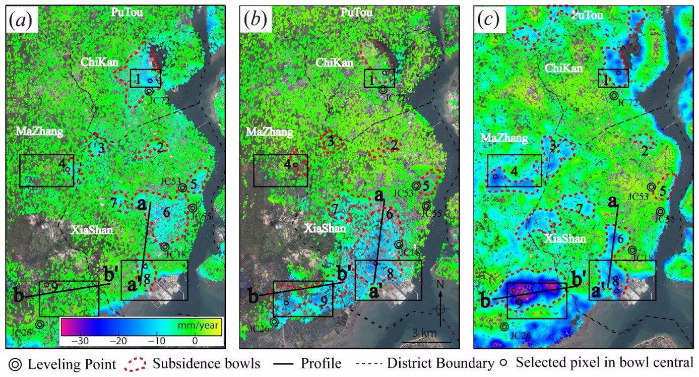
Over the past two decades, the Leizhou Peninsula has suffered from many geological hazards and great property losses caused by land subsidence. However, the absence of a deformation map of the whole peninsula has impeded the government in making the necessary decisions concerning hazard prevention and mitigation. This study aims to provide the evolution of land deformation (subsidence and uplift) in the whole peninsula from 1992 to 2010. A modified stacking procedure is proposed to map the surface deformation with JERS, ENVISAT, and ALOS1 images. The map shows that the land subsidence mainly occurs along the coastline with a maximum velocity of 32 mm/year and in a wide range of inland arable lands with a velocity between 10 and 19 mm/year. Our study suggests that there is a direct correlation between the subsidence and the surface geology. Besides, the observed subsidence in urban areas, caused by groundwater overexploitation for domestic and industrial use, is moving from urban areas to suburban areas. In nonurban areas, groundwater extraction for aquaculture and arable land irrigation are the main reason for land subsidence, which accelerates saltwater intrusion and coastline erosion if regular surface deformation measurements and appropriate management measures are not taken.
 引用格式:
引用格式:
Du, Y.; Feng, G.; Peng, X.; Li, Z. Subsidence Evolution of the Leizhou Peninsula, China, Based on InSAR Observation from 1992 to 2010. Appl. Sci. 2017, 7, 466.
