

Impact Factor:4.25
DOI number:10.1007/s00190-021-01561-1
Journal:Journal of Geodesy
Key Words:Persistent scatterer interferometric synthetic aperture radar (PS-InSAR); Ground deformation monitoring; Image block adjustment; Parameter estimation.
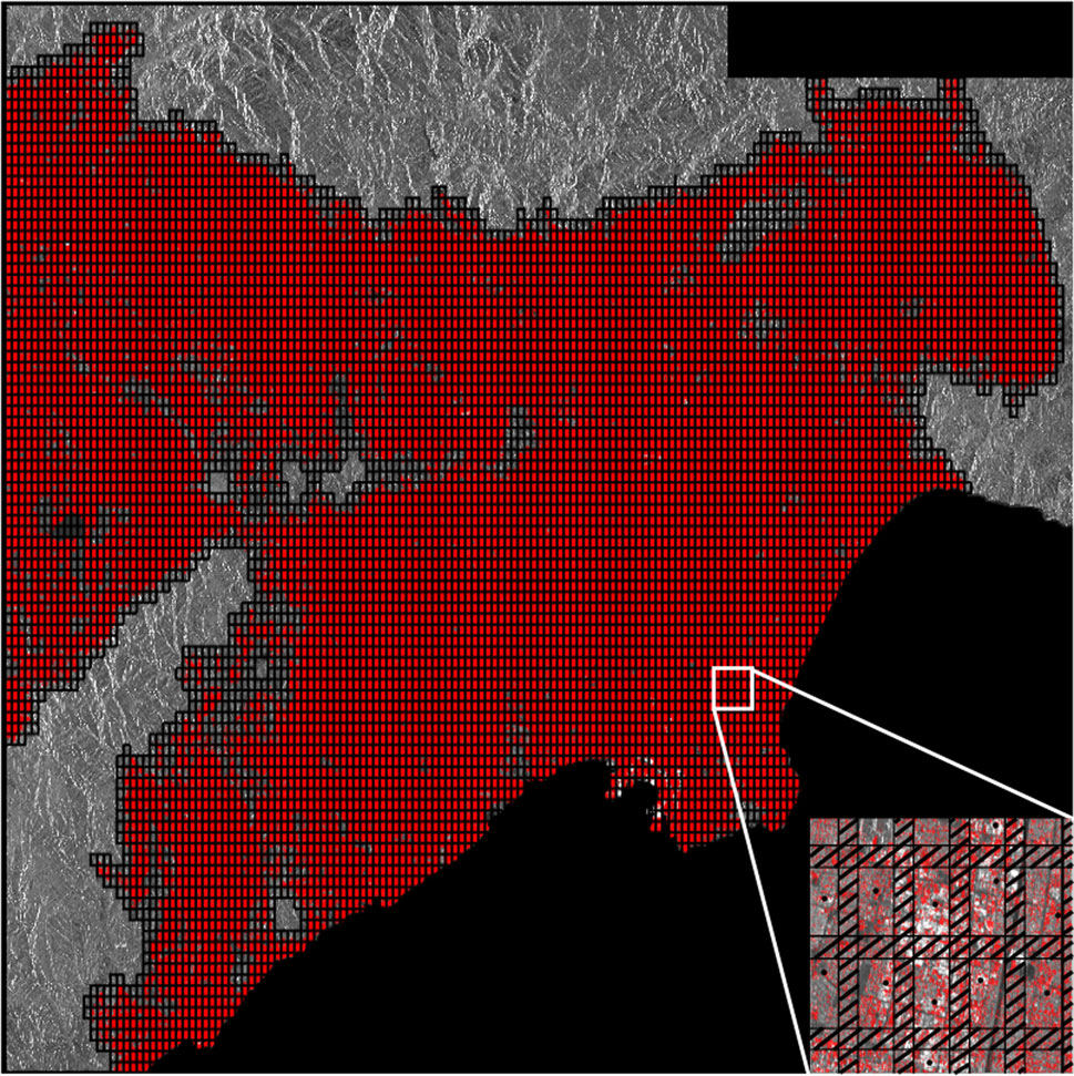
Abstract:Persistent scatterer interferometric synthetic aperture radar (PS-InSAR) is a widely used technique for local ground deformation estimation due to its millimetric accuracy and full-resolution results. However, with the enhancement of data acquisition capability of the SAR sensors, larger coverage and higher temporal-spatial resolution of SAR images can cause explosive increase and uneven distribution of PS points. PS network constructed between PSs with different qualities may cause spatial-error propagation. Large PS points list with large amount of data also have high requirements on computing performance and storage space. Those problems can bring big challenge for PS-InSAR technique in processing capacity, deformation monitoring accuracy and algorithm efficiency. In order to effectively overcome those limitations, this paper proposed a novel block PS-InSAR method that uses the approach of partitioning a study area into regular blocks with overlapping regions, selecting a high-quality reference point for each block and eliminating the discontinuity of the parameter calculating results in adjacent blocks by the weighted least square method. We used this approach to analyze ground subsidence in over 13,000 km(2) of southern California, and it performed successfully when 69 Sentinel-1 images were used and 21,029,968 PSs were selected. Only approximately 10 h was needed for this experiment. Comparing the deformation rate and time series of the InSAR results with 29 GPS observations, the mean and standard deviation of difference of deformation rate were - 0.63 mm/yr and 1.53 mm/yr, respectively, and the average root mean squared error of deformation time series was 3.7 mm. The experiment demonstrated that this method could achieve high accuracy results without spatial discontinuity and increase the computational efficiency significantly.
Indexed by:Journal paper
Document Code:111
Discipline:Engineering
First-Level Discipline:Surveying and Mapping
Document Type:J
Volume:95
Translation or Not:no
Links to published journals:https://link.springer.com/article/10.1007/s00190-021-01561-1